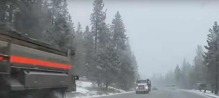
On Friday, numerous ski resorts in California shut down in anticipation of a significant snowstorm projected to impact the Sierra Nevada region throughout the weekend.
Authorities in California took the precautionary measure of closing roads in preparation for the impending snowstorm, which is expected to bring as much as 10 feet (3 meters) of snow to the state and neighboring Nevada.
Wind gusts in the Sierra Nevada mountains are forecasted to reach speeds exceeding 140 mph (225 km/h).
Approximately two feet of snow has already accumulated in the area.
Following a day marked by multiple closures and weather-related incidents, authorities implemented a full closure of the interstate in both directions after 5 pm.
This closure spanned approximately 100 miles, stretching from the state border just west of Reno, Nevada, to near Emigrant Gap, California.
Throughout the day, California Highway Patrol, state transportation officials, and other authorities responded to numerous incidents along Interstate 80.
These included collisions, vehicles sliding into snow banks, and getting stuck on icy roadsides. Despite the challenging conditions, there were no immediate reports of any serious injuries.
Sierra Nevada Storm Alert: Major Disruptions Expected

The Weather Prediction Center issued a warning indicating that the storm was poised to bring significant and prolonged disruptions to daily life in the higher elevations of the Sierra Nevada from Friday through Saturday.
According to the weather service, travel conditions in the Sierra Nevada region are anticipated to range from extremely hazardous to nearly impossible, with the potential for avalanches.
In response to these forecasts, officials closed extensive sections of Interstate 80, a key highway in the Sierra Nevada. Yosemite National Park shuttered its operations for the weekend, and numerous ski resorts surrounding Lake Tahoe ceased their activities.
While there have been no reports of serious injuries thus far, Californian authorities informed the US media that they have attended to incidents of car collisions and vehicles sliding off or becoming stranded along I-80.
Additionally, parts of Utah and Arizona are expected to experience strong and hazardous wind gusts.
This storm arrives after a sluggish start to the snow season in the region. The snowpack in the mountains typically contributes significantly to California’s water supply.
Conditions are anticipated to ameliorate by Monday, although the area may encounter further snowfall in the middle of the following week.
